
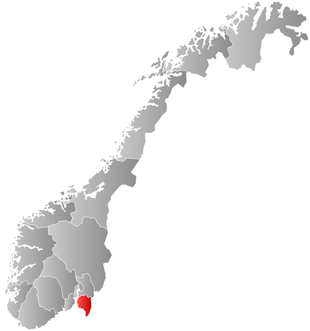
File:Norway Counties Østfold Position.svg

Size of this PNG preview of this SVG file: 562 × 600 pixels. Other resolutions: 225 × 240 pixels | 450 × 480 pixels | 719 × 768 pixels | 959 × 1,024 pixels | 1,918 × 2,048 pixels | 740 × 790 pixels.
Original file (SVG file, nominally 740 × 790 pixels, file size: 54 KB)
| Description | Autogenerated locator map of norwegian county as named in filename. |
| Date | |
| Source | Based on Image:Norway counties blank.svg |
| Author | Marmelad |
| Permission (Reusing this file) |
Own work, share alike, attribution required (Creative Commons CC-BY-SA-2.5) |
I, the copyright holder of this work, hereby publish it under the following license:
This file is licensed under the Creative Commons Attribution-Share Alike 2.5 Generic license.
- You are free:
- to share – to copy, distribute and transmit the work
- to remix – to adapt the work
- Under the following conditions:
- attribution – You must give appropriate credit, provide a link to the license, and indicate if changes were made. You may do so in any reasonable manner, but not in any way that suggests the licensor endorses you or your use.
- share alike – If you remix, transform, or build upon the material, you must distribute your contributions under the same or compatible license as the original.
File history
Click on a date/time to view the file as it appeared at that time.
| Date/Time | Thumbnail | Dimensions | User | Comment | |
|---|---|---|---|---|---|
| current | 00:58, 2 Hānuere 2024 | | 740 × 790 (54 KB) | Jay1279 | update county borders for 2024 |
| 08:21, 27 Hānuere 2019 |  | 740 × 790 (67 KB) | Bjarkan | Border update (Rindal). | |
| 03:15, 17 Tīhema 2017 |  | 740 × 790 (67 KB) | Bjarkan | Improved version. | |
| 11:42, 24 Hānuere 2016 |  | 740 × 790 (81 KB) | Fleinn | Reverted to version as of 13:13, 16 August 2010 (UTC) | |
| 01:47, 19 Hānuere 2016 |  | 512 × 512 (82 KB) | Kingsocarso | Reverted to version as of 21:29, 21 September 2007 (UTC) | |
| 13:13, 16 Ākuhata 2010 |  | 740 × 790 (81 KB) | Fleinn | Added gradient. | |
| 21:29, 21 Hepetema 2007 |  | 512 × 512 (82 KB) | Marmelad | {{Information |Description=Autogenerated locator map of norwegian county as named in filename. |Source=Based on Image:Norway counties blank.svg |Date=2007-09-21 |Author=Marmelad |Permission=Own work, share alike, attribution require |
File usage
The following 2 pages use this file:
Global file usage
The following other wikis use this file:
- Usage on af.wikipedia.org
- Usage on ar.wikipedia.org
- Usage on ast.wikipedia.org
- Usage on azb.wikipedia.org
- Usage on bcl.wikipedia.org
- Usage on bg.wikipedia.org
- Usage on bjn.wikipedia.org
- Usage on br.wikipedia.org
- Usage on bs.wikipedia.org
- Usage on ce.wikipedia.org
- Usage on da.wikipedia.org
- Usage on en.wikipedia.org
- Usage on fa.wikipedia.org
- Usage on fr.wikipedia.org
- Usage on hr.wikipedia.org
- Usage on hu.wikipedia.org
- Usage on hy.wikipedia.org
- Usage on id.wikipedia.org
- Usage on io.wikipedia.org
- Usage on it.wikipedia.org
View more global usage of this file.