
File:Uk map england.png
Size of this preview: 358 × 599 pixels. Other resolutions: 143 × 240 pixels | 287 × 480 pixels | 643 × 1,075 pixels.
Original file (643 × 1,075 pixels, file size: 62 KB, MIME type: image/png)
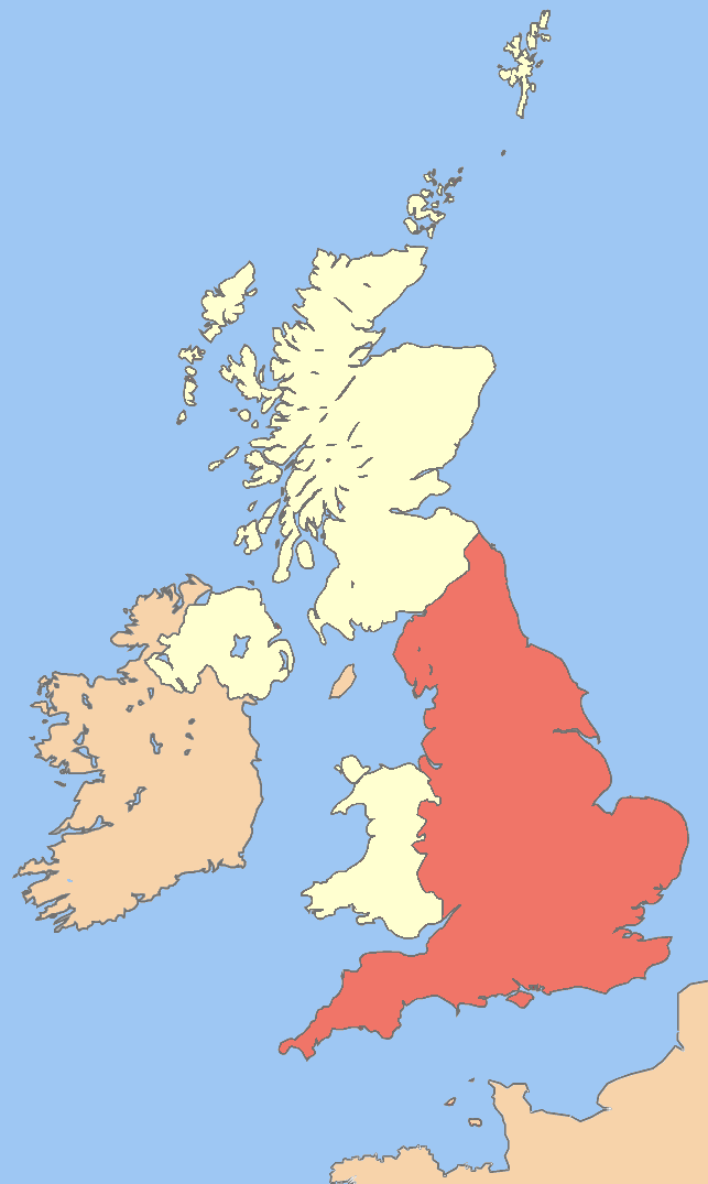
Summary
| Description | Image of England in the UK |
| Date | |
| Source | Image:British Isles United Kingdom.svg |
| Author | UKPhoenix79 |
| Other versions | Image:Uk map.png Image:Uk_map_england.png Image:Uk map northern ireland.png Image:Uk map scotland.png Image:Uk map wales.png |
Licensing
I, the copyright holder of this work, hereby publish it under the following licenses:

|
Permission is granted to copy, distribute and/or modify this document under the terms of the GNU Free Documentation License, Version 1.2 or any later version published by the Free Software Foundation; with no Invariant Sections, no Front-Cover Texts, and no Back-Cover Texts. A copy of the license is included in the section entitled GNU Free Documentation License. |
This file is licensed under the Creative Commons Attribution-Share Alike 3.0 Unported license.
- You are free:
- to share – to copy, distribute and transmit the work
- to remix – to adapt the work
- Under the following conditions:
- attribution – You must give appropriate credit, provide a link to the license, and indicate if changes were made. You may do so in any reasonable manner, but not in any way that suggests the licensor endorses you or your use.
- share alike – If you remix, transform, or build upon the material, you must distribute your contributions under the same or compatible license as the original.
You may select the license of your choice.
File history
Click on a date/time to view the file as it appeared at that time.
| Date/Time | Thumbnail | Dimensions | User | Comment | |
|---|---|---|---|---|---|
| current | 03:06, 31 Māehe 2008 | | 643 × 1,075 (62 KB) | UKPhoenix79 | cropped and lighted the red colour |
| 19:31, 29 Māehe 2008 |  | 675 × 1,180 (70 KB) | UKPhoenix79 | {{Information |Description=Image of All the UK |Source=Image:British Isles United Kingdom.svg |Date=2008-03-29 |Author= UKPhoenix79 |Permission= |other_versions=Image:Uk map.png }} |
File usage
Kāhore kau ngā whārangi e whai hoto ana ki tēnei kōnae whakaahua.
Global file usage
The following other wikis use this file:
- Usage on ba.wikipedia.org
- Usage on el.wikipedia.org
- Usage on en.wikipedia.org
- Portal:England
- Portal:England/Introduction
- User:Phoenix79/images
- Category:Wikipedia requested photographs in England
- Talk:United Kingdom/Archive 15
- Talk:Scotland/Archive 17
- Talk:Scotland/Archive 18
- Wikipedia talk:WikiProject UK geography/Archive 6
- Wikipedia talk:UK Wikipedians' notice board/Archive 13
- Talk:Europe/Archive 6
- Wikipedia talk:WikiProject Scotland/Archive 4
- Wikipedia talk:WikiProject Maps/Archive 5
- Wikipedia talk:WikiProject England/Archive 2
- Wikipedia talk:WikiProject Wales/Archive 2008
- Wikipedia talk:WikiProject Northern Ireland/Archive 1
- Usage on lez.wikipedia.org
- Usage on lt.wikipedia.org
- Usage on no.wikibooks.org
- Usage on pt.wikipedia.org
- Usage on ru.wikipedia.org
- Usage on szl.wikipedia.org
- Usage on te.wikipedia.org
- Usage on uz.wikipedia.org
- Usage on vi.wikipedia.org