
File:Locator Kota Tangerang.png
Size of this preview: 800 × 577 pixels. Other resolutions: 320 × 231 pixels | 640 × 462 pixels | 801 × 578 pixels.
Original file (801 × 578 pixels, file size: 48 KB, MIME type: image/png)
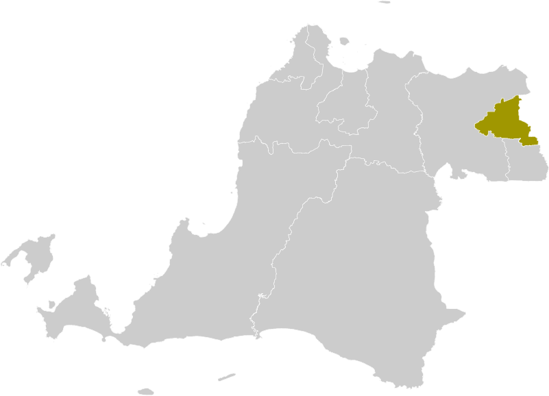
Summary
| Description | Locator map of Tangerang Municipality |
| Date | (UTC) |
| Source |
This file was derived from: Locator Kota Tangerang Selatan.png: |
| Author |
|
| This is a retouched picture, which means that it has been digitally altered from its original version. Modifications: Color changes. The original can be viewed here: Locator Kota Tangerang Selatan.png:
|
Licensing
I, the copyright holder of this work, hereby publish it under the following license:
This file is licensed under the Creative Commons Attribution-Share Alike 3.0 Unported license.
- You are free:
- to share – to copy, distribute and transmit the work
- to remix – to adapt the work
- Under the following conditions:
- attribution – You must give appropriate credit, provide a link to the license, and indicate if changes were made. You may do so in any reasonable manner, but not in any way that suggests the licensor endorses you or your use.
- share alike – If you remix, transform, or build upon the material, you must distribute your contributions under the same or compatible license as the original.
Original upload log
This image is a derivative work of the following images:
- File:Locator_Kota_Tangerang_Selatan.png licensed with Cc-by-sa-3.0
- 2012-10-11T18:41:25Z Topographie 245x161 (3813 Bytes) == {{int:filedesc}} == {{Information |Description=Locator map of South Tangerang Municipality |Source={{Derived from|Locator_Kabupaten_Serang.png|display=50}} |Date=2012-10-11 18:39 (UTC) |Author=*[[:File:Locator_Kabupaten_Se
Uploaded with derivativeFX
File history
Click on a date/time to view the file as it appeared at that time.
| Date/Time | Thumbnail | Dimensions | User | Comment | |
|---|---|---|---|---|---|
| current | 09:16, 20 Māehe 2022 | | 801 × 578 (48 KB) | Afrogindahood | Graphical improvement |
| 18:49, 11 Oketopa 2012 |  | 245 × 161 (4 KB) | Topographie | == {{int:filedesc}} == {{Information |Description=Locator map of Tangerang Municipality |Source={{Derived from|Locator_Kota_Tangerang_Selatan.png|display=50}} |Date=2012-10-11 18:47 (UTC) |Author=*File:Locator_Kota_Tangerang_Selatan.png: *[[:File... |
File usage
The following page uses this file:
Global file usage
The following other wikis use this file:
- Usage on ar.wikipedia.org
- Usage on ast.wikipedia.org
- Usage on ban.wikipedia.org
- Usage on de.wikipedia.org
- Usage on en.wikipedia.org
- Usage on eo.wikipedia.org
- Usage on es.wikipedia.org
- Usage on eu.wikipedia.org
- Usage on gor.wikipedia.org
- Usage on hu.wikipedia.org
- Usage on id.wikipedia.org
- Daftar kabupaten dan kota di Indonesia
- Banten
- Daftar kabupaten dan kota di Banten
- Daftar kabupaten dan kota di Indonesia menurut waktu pembentukan
- Pemilihan umum Wali Kota Tangerang 2013
- Daftar kecamatan dan kelurahan di Kota Tangerang
- Pemilihan umum Wali Kota Tangerang 2018
- Liga 3 2021 Banten
- Pemilihan umum Wali Kota Tangerang 2024
- Daftar kabupaten dan kota di Banten berdasarkan waktu pembentukan
- Usage on io.wikipedia.org
- Usage on it.wikipedia.org
- Usage on ja.wikipedia.org
- Usage on jv.wikipedia.org
- Usage on min.wikipedia.org
- Usage on ml.wikipedia.org
- Usage on ms.wikipedia.org
- Usage on nl.wikipedia.org
- Usage on pt.wikipedia.org
- Usage on ro.wikipedia.org
- Usage on su.wikipedia.org
- Usage on tt.wikipedia.org
- Usage on uk.wikipedia.org
- Usage on vi.wikipedia.org
- Usage on www.wikidata.org
View more global usage of this file.