
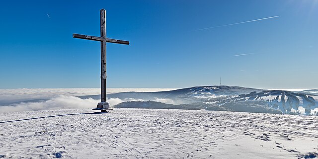
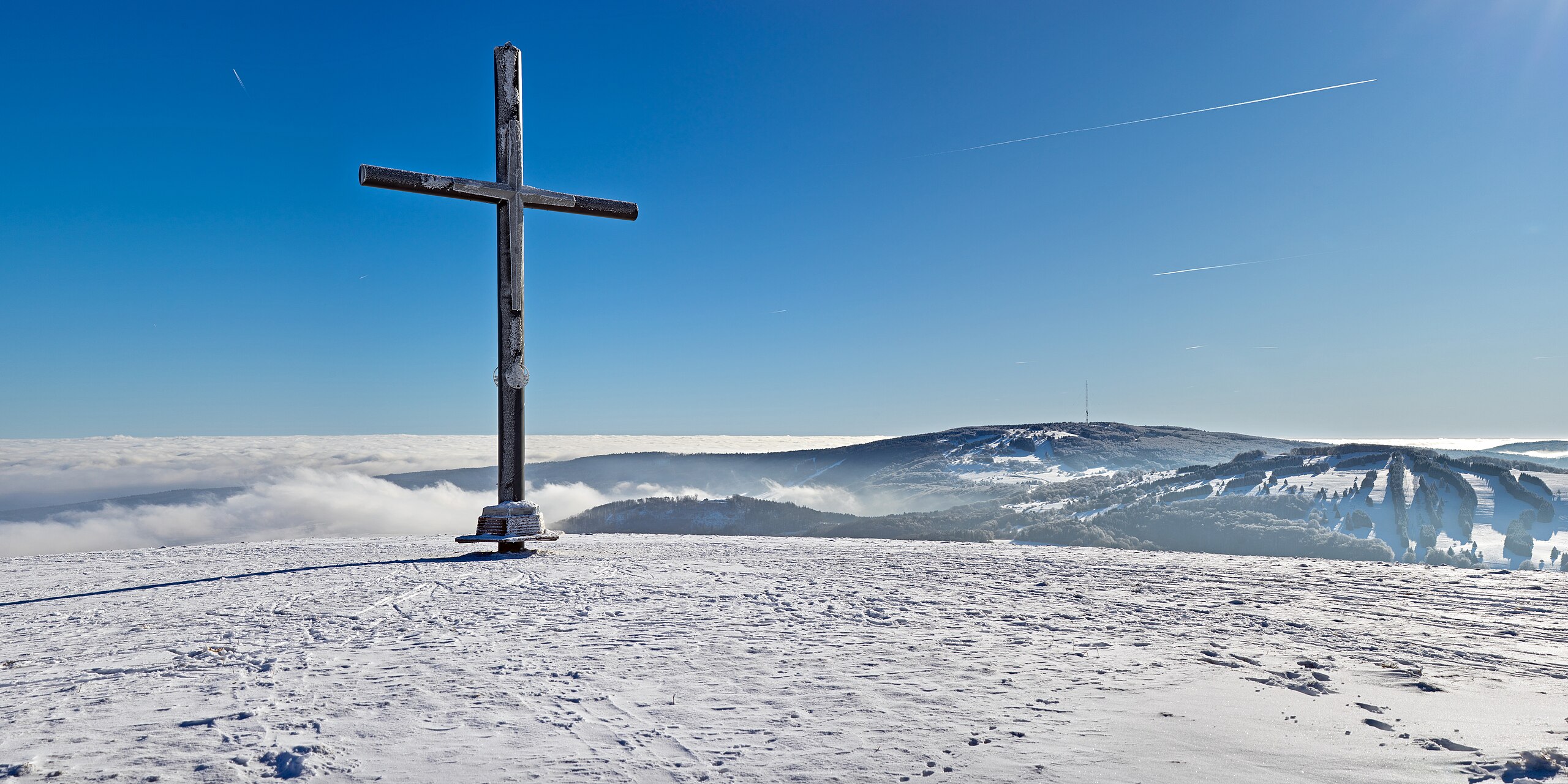
File:Himmeldunkberg Gipfelkreuz II.jpg

Size of this preview: 800 × 400 pixels. Other resolutions: 320 × 160 pixels | 640 × 320 pixels | 1,024 × 512 pixels | 1,280 × 640 pixels | 2,560 × 1,281 pixels | 9,996 × 5,000 pixels.
Original file (9,996 × 5,000 pixels, file size: 8.67 MB, MIME type: image/jpeg)
Summary
| Description | |
| Date | |
| Source | Own work |
| Author | Jörg Braukmann |
| Camera location | | View this and other nearby images on: OpenStreetMap |
|---|
Assessment
|
Licensing
I, the copyright holder of this work, hereby publish it under the following license:
This file is licensed under the Creative Commons Attribution-Share Alike 4.0 International license.
- You are free:
- to share – to copy, distribute and transmit the work
- to remix – to adapt the work
- Under the following conditions:
- attribution – You must give appropriate credit, provide a link to the license, and indicate if changes were made. You may do so in any reasonable manner, but not in any way that suggests the licensor endorses you or your use.
- share alike – If you remix, transform, or build upon the material, you must distribute your contributions under the same or compatible license as the original.
| Annotations | This image is annotated: View the annotations at Commons |
File history
Click on a date/time to view the file as it appeared at that time.
| Date/Time | Thumbnail | Dimensions | User | Comment | |
|---|---|---|---|---|---|
| current | 14:46, 13 Mei 2024 | | 9,996 × 5,000 (8.67 MB) | Milseburg | per FPC snow |
| 14:34, 10 Mei 2024 |  | 9,996 × 5,000 (11.47 MB) | Aristeas | Embedded sRGB profile with ExifTool (as suggested in the FP discussion); this is a lossless operation and has no impact on the image data itself | |
| 10:58, 3 Pēpuere 2024 |  | 9,996 × 5,000 (11.47 MB) | Milseburg | Uploaded own work with UploadWizard |
File usage
Kāhore kau ngā whārangi e whai hoto ana ki tēnei kōnae whakaahua.
Global file usage
The following other wikis use this file:
- Usage on de.wikipedia.org